Piloting the Flood Risk Mitigation Toolbox for Refugee Settlements
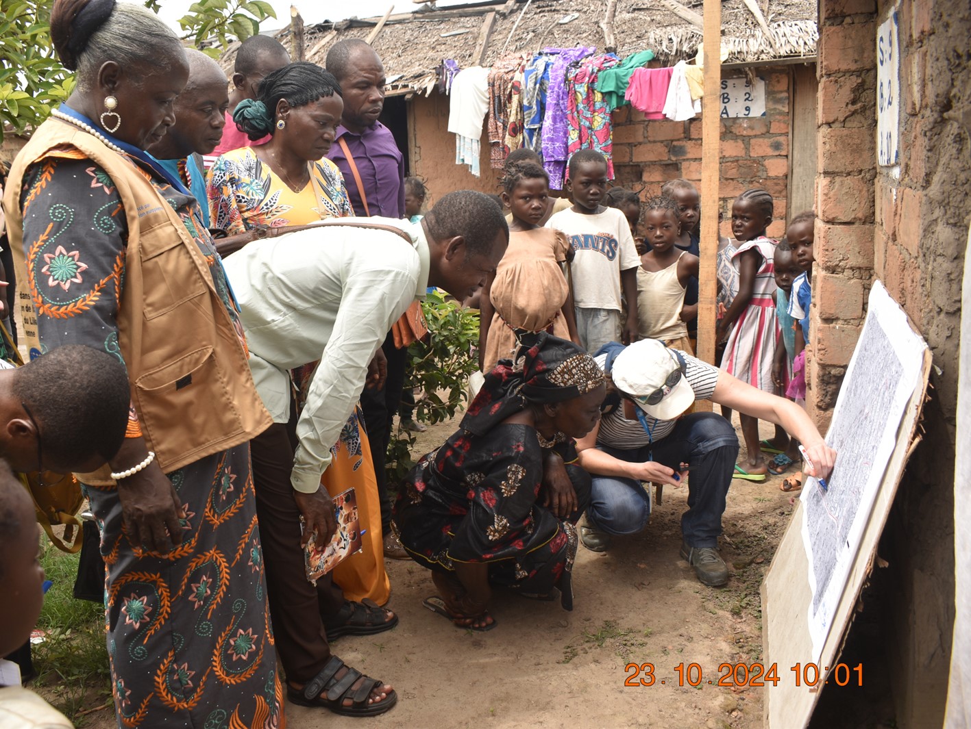
Participatory Risk Mapping in Bétou, Republic of Congo
Floods pose a growing threat to refugee settlements worldwide, exacerbating the already vulnerable conditions of displaced communities. To address this challenge, the ETH Zurich research group Spatial Development and Urban Policy (SPUR) developed a Flood Risk Mitigation Toolbox for refugee settlements. This toolbox integrates GIS-based flood risk mapping, a compendium of risk mitigation measures, and a participatory risk mapping methodology to integrate local knowledge in planning processes. To ensure the toolbox’s effectiveness on-site, ETH researchers tested the toolbox in an UNHCR refugee settlement in Bétou, Republic of Congo. There, they conducted participatory risk mapping as well as training workshops for UNHCR field staff on the GIS flood risk mitigation tool. Additionally, the ETH researchers conducted a variety of dissemination activities to strengthen the integration of the toolbox and the flood risk mitigation workflow into UNHCR's field operations worldwide.
This fieldwork was conducted as part of a collaboration between SPUR, the external page UN refugee Agency (UNHCR) and the external page Swiss Development Cooperation (SDC) through the external page Geneva Technical Hub (GTH), and local partners in the Republic of Congo, supported by the ETH4D Pilot Grant.
Key Takeaways
- Floods pose a growing threat to refugee settlements worldwide. Flooding in humanitarian settlements has increased by 50% in the last decade, putting thousands of lives at risk.
- The piloting showed that local knowledge is essential when creating accurate flood maps and formulating adequate mitigation strategies